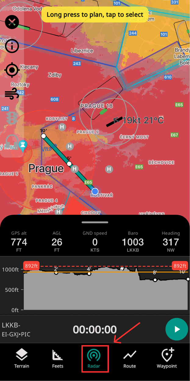
Elevation data is available in full map overlay with colour warnings based on your current altitude.
An additional widget with terrain projection in your current vector is available when you swipe up the detail panel.

Elevation data is available in full map overlay with colour warnings based on your current altitude.
An additional widget with terrain projection in your current vector is available when you swipe up the detail panel.
