FLYLOG.io offers multiple map views powered by Google Maps. That means you can use following map modes in your navigation:
- Normal
- Satellite
- Terrain
- Hybrid
- None
Available on mobile and web.
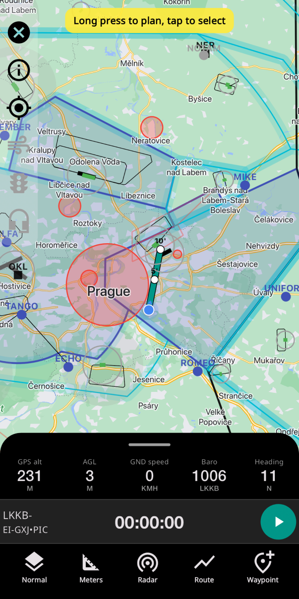
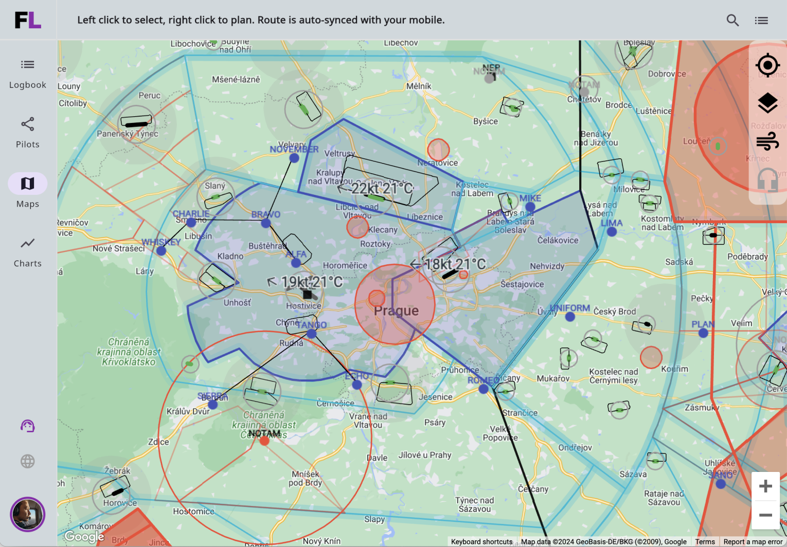
Airports and Airspaces
You can get informations about the airport or airspace by selecting the object on the map (frequencies, runways, etc.)
Offline mode
To access maps offline, you must display a country with an active internet connection at least once to download the necessary data. Once the data is downloaded, the maps can be used offline without any issues.